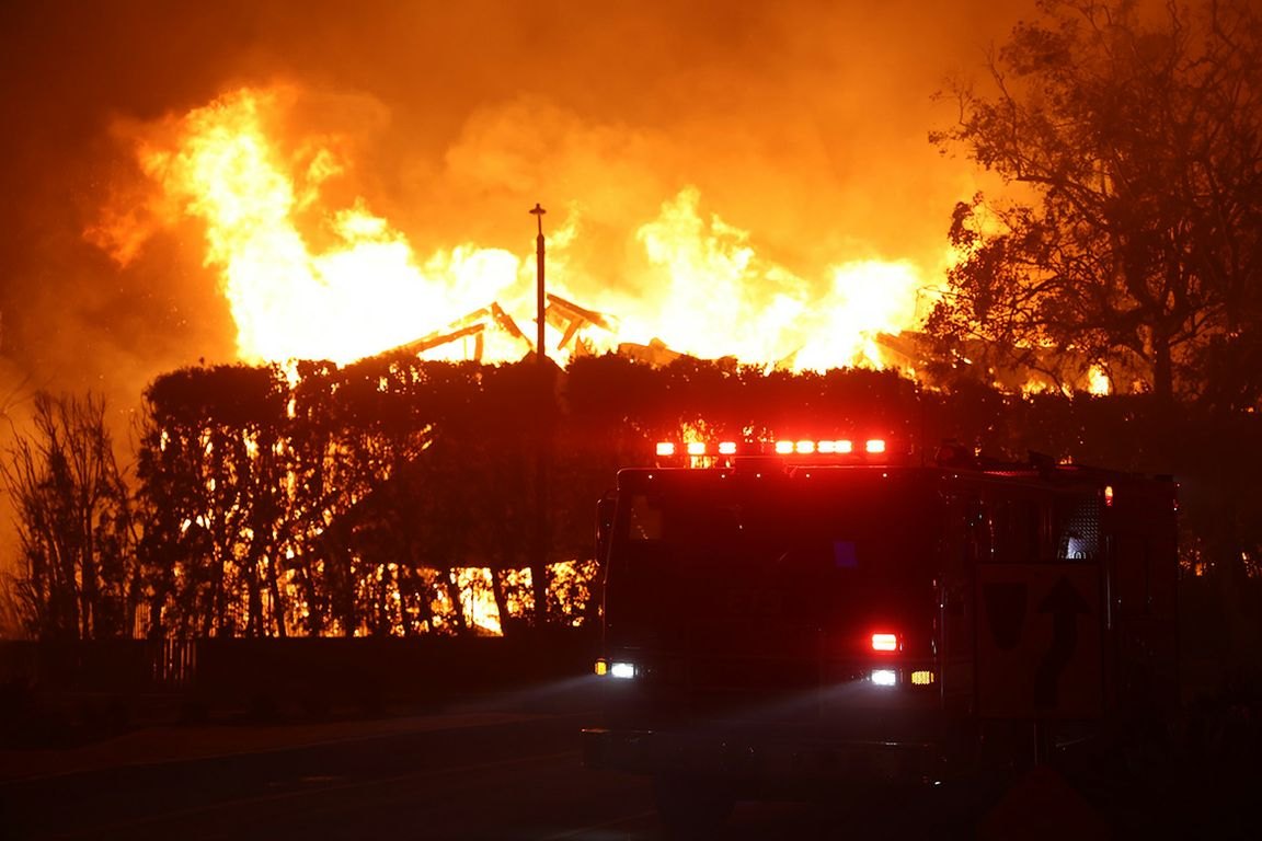
High-severity wildfire in California has increased 30-fold over four decades, and the kind of fire that kills entire forests is now the dominant fire type in the state, according to a UCLA-led study published Monday, June 22 in the Proceedings of the National Academy of Sciences.
The findings carry pointed implications for canyon homeowners in Bel Air, Holmby Hills, and the northern hillside of Beverly Hills, where much of the land sits within CalFire's Very High Fire Hazard Severity Zone.
Researchers Park Williams, a UCLA professor of geography, and lead author Mitchell Hung analyzed 4,391 forest fires between 1985 and 2024. They found that forest fires now burn 10 times as much acreage annually as in 1985, and that high-severity fire, once rare, became the most common class of fire statewide by 2012.
"These high-severity, forest-replacing fires used to be uncommon, and now it's the dominant fire type," Williams said.
Two forces converging
Hung, who conducted the research at UCLA and is now a doctoral student at Stanford, identified rising atmospheric dryness linked to climate change and decades of fire suppression that allowed brush to accumulate as the two main drivers. Severe burning increased most rapidly in forests with the highest fuel density.
Hung said the warming and drying of the atmosphere is among the largest drivers of burn severity, which no amount of forest thinning can change. But for individual locations, he added, good forest management decisions can help reduce the risk.
Eight of the 10 largest wildfires in California's last 100 years occurred within the last decade, according to CalFire data cited in the study.
Local fire zone already expanding
CalFire released expanded fire hazard maps in April 2025 that widened the Very High Fire Hazard Severity Zone in Beverly Hills. The city is required to adopt those maps and cannot reduce the zones. Properties in the Very High zone may face additional code compliance requirements recommended by the State Fire Marshal.
A National Weather Service heat advisory issued Wednesday, July 8 pushed Los Angeles County temperatures 10 to 15 degrees above normal, with hot, dry offshore winds elevating fire risk.
Beverly Hills Fire Chief Greg Barton has been preparing for conditions like these. At a June 15 Municipal League town hall, Barton said that whenever Red Flag Warnings are issued, he calls Director of Public Works Shana Epstein to ensure the city's reservoirs are topped off. The department monitors conditions from an automated weather station in Franklin Canyon and runs a brush clearing program.
The city also conducted targeted evacuation drills on November 9, 2025, for 68 homes in Trousdale Estates, and on May 2, 2026, for residents near Franklin Canyon north of Sunset Boulevard. In May 2026, Beverly Hills renamed its nine evacuation zones to align with state designations. Residents can view the updated zone map at beverlyhills.org/justincasebh.
The UCLA study's bottom line for canyon residents: the atmospheric drying that drives the worst fires is structural and accelerating, making local preparedness measures necessary but insufficient on their own.